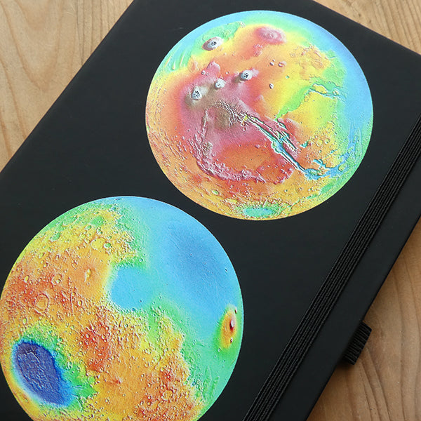
Mars Topographical Map Notebook
Mars Topographical Map Notebook
Couldn't load pickup availability
Out Of Stock!
We will notify you when this product becomes available.
Share
These false-color topographic views of Mars are from the Mars Orbiter Laser Altimeter (MOLA). The lower image view features the Hellas impact basin (in purple, with red annulus of high standing material). The upper features the Tharsis topographic rise (in red and white) and other vast features such as Olympus Mons, the highest peak in the solar system, and Valles Marineris. These data were compiled by the Mars Orbiter Laser Altimeter (MOLA) Team led by David Smith at the Goddard Space Flight Center in Greenbelt, MD. Image courtesy of NASA.
Collections: All Products, Astronomy, Cartography, Curious Notebooks, Notebooks, Peer Reviewed, Planetary Science, Science, Stationery


