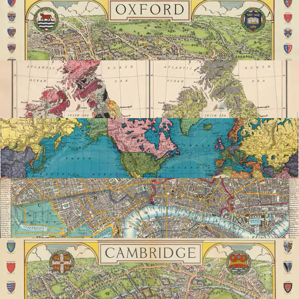
Oxford Map Wrapping Paper
Oxford Map Wrapping Paper
Couldn't load pickup availability
Out Of Stock!
We will notify you when this product becomes available.
Share
A vintage 1936 map of Oxford showing university colleges and civic buildings, with the college coats of arms forming decorative side borders. This map has been adapted from Oxford: No. 2 of the Wayabout series of pictorial maps, by Spencer Hoffman. Courtesy David Rumsey Map Collection. It would make an attractive wall poster for those interested in the history of Oxford and its dreaming spires.
Printed with vegetable-based inks on a carbon neutral press using responsibly sourced, acid free paper.
This design is available as a single folded sheet or part of a rolled mixed pack of 5 map themed patterns. Occasionally we may need to substitute a similar design in mixed packs.
49 x 70cm, 90gsm uncoated cream Italian paper.
Collections: All Products, Cartography, History, Humanities, Wrapping Paper


